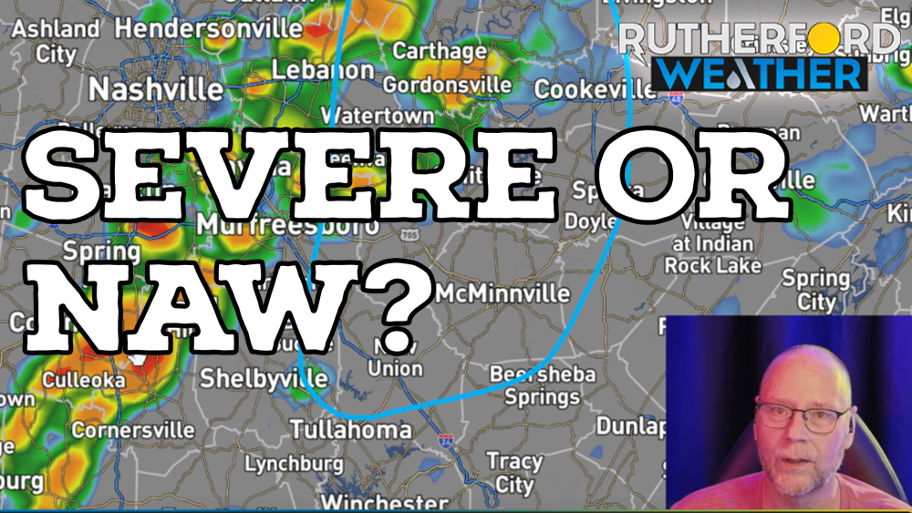

RUTHERFORD COUNTY, Tenn. (Rutherford Weather) - Weather forecasters warn Rutherford County residents to prepare for potential severe storms on Saturday.
The Storm Prediction Center places Rutherford County and much of Middle Tennessee in a Level 2 out of 5 slight risk zone. Areas directly to the west remain in a Level 1 marginal risk area.
Rutherford Weather's Bryan Barrett says damaging straight-line winds are the main concern with Saturday's system. Torrential rainfall and frequent lightning will also accompany the storms. The tornado threat remains very low (but not zeor), and hail is not expected to cause major issues.
A morning round of rain and thunder will move through the region without severe weather. However, afternoon severe potential remains conditional based on short-term computer forecast models.
The High-Resolution Rapid Refresh (HRRR) model shows storm initiation starting around 3 p.m. over or east of Rutherford County. Another short-term model, the RRFS, shows storms forming west of the county near Centerville, Spring Hill, and Franklin around 4 p.m. before pushing east.
If storms form west of Rutherford County, local communities face a higher risk of severe thunderstorms with damaging winds. If storms delay initiation until reaching Cannon County or McMinnville, severe weather chances across Rutherford County drop significantly. Some models also show strong storm potential continuing into the area around 6 p.m.
Residents can track live radar, view area cameras, and find social media links online at rutherfordwx.com or by searching for RUCOWeather on social platforms like YouTube, Facebook & X.