MURFREESBORO, Tenn. (WGNS) - Oppressive heat will give way to fall-like temperatures this week, but Rutherford County residents must first navigate a low-end severe weather threat on Monday afternoon (September 21st).

Monday starts mostly sunny and hot with a high near 96 degrees before a 20 percent chance of showers develops after 1 p.m. and severe storms threaten the area after 4 p.m. The National Weather Service (NWS) office in Nashville placed Rutherford County under a marginal, or Level 1, severe weather threat from 2 p.m. until 10 p.m., with main impacts including gusty winds, heavy rain, and frequent lightning. Rain chances rise to 40 percent Monday night with a low around 68 degrees.
Tuesday brings a 50 percent chance of rain after 1 p.m. under partly sunny skies with a high near 89 degrees and a low around 64 degrees.
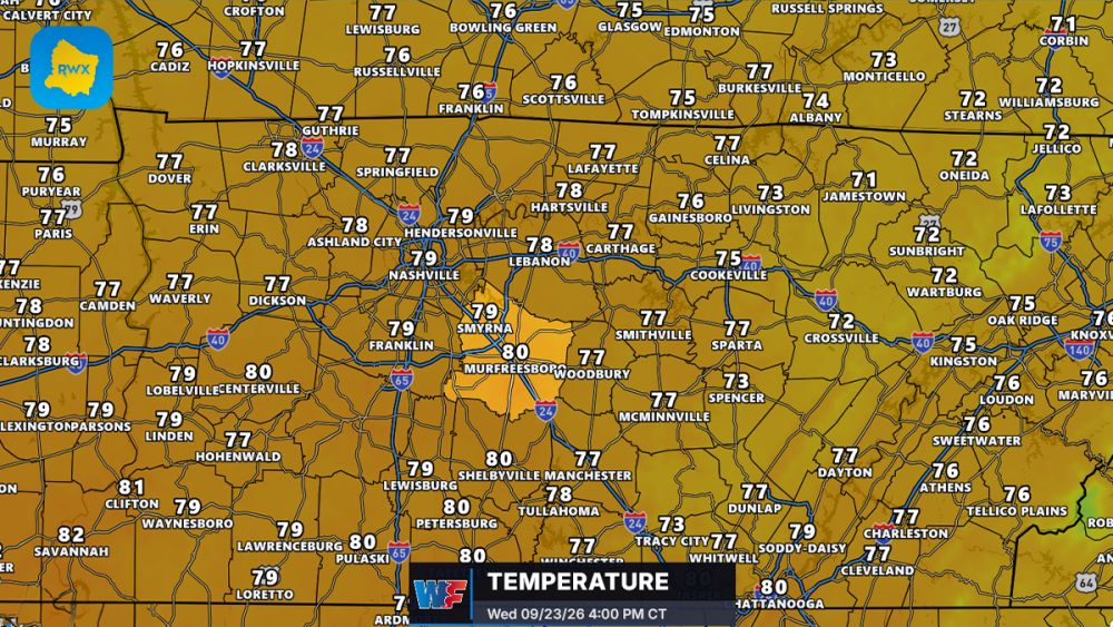
Starting Wednesday and lasting through Saturday, the long-standing heat dome will finally break, bringing mostly sunny skies, near-normal highs in the lower 80s, and comfortable nighttime lows dipping to 56 degrees.
Residents can stay updated on local forecasts at RutherfordWx.com.