MURFREESBORO, Tenn. (WGNS) - Local weather officials are issuing an early heads-up for Rutherford County residents as a developing tropical system in the Gulf threatens to bring widespread rain to Middle Tennessee this weekend.

Bryan Barrett with Rutherford Weather reported Tuesday afternoon that Invest 92L is gaining organization off the Mexican coast. The system is expected to develop into a tropical storm or hurricane over the next couple of days before making landfall along the Gulf Coast between Baton Rouge, Louisiana, and the Florida Panhandle on Friday.
While the exact path of the storm remains uncertain, tropical moisture is expected to push northward into Middle Tennessee. Forecast models show rain moving into Rutherford County starting late Friday night into early Saturday morning.
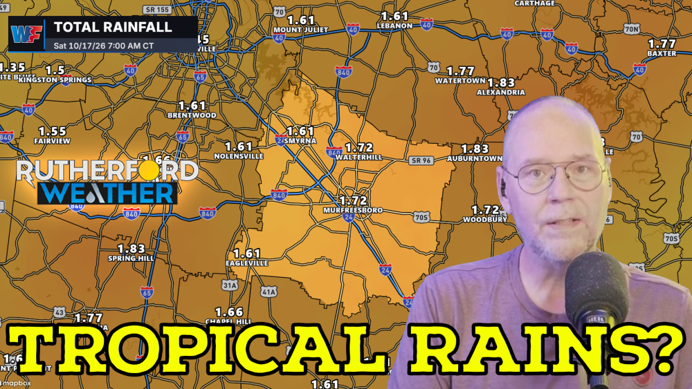
Current computer guidance shows varying rainfall potential for the area. The National Blend of Models (NBM) projects around 1.5 inches of rain across Murfreesboro, Eagleville, and Walter Hill, with slightly lower amounts near Smyrna. However, the Global Forecast System (GFS) model presents a more aggressive track, suggesting potential rainfall totals between 2.5 and 3 inches for parts of the county. A cold front is expected to push the rain out of the area by Sunday afternoon.
At this time, the Storm Prediction Center has not outlined Middle Tennessee for severe weather, though localized heavy downpours remain possible.
With many local families traveling south for fall break, forecasters advise anyone headed to the Gulf Coast to monitor weather conditions closely as the system progresses.
Residents can track live local radar, view area skycams, and stay updated on changing weather conditions by visiting https://rutherfordwx.com.