


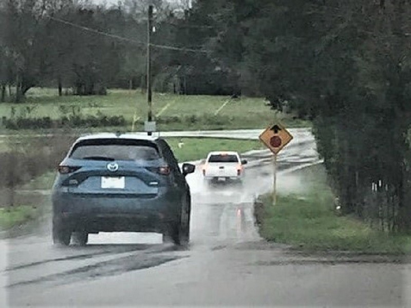
(RUTHERFORD COUNTY, TN) It doesn't take much water depth to float a car or truck. Officials with the Rutherford County Sheriffs Office know, first hand, about the dangers of motorists attempting to drive through water covered roadways.
Rutherford County Public Safety Director Chris Clark said, “We have several roads particularly in the Christiana and Rockvale areas that are experiencing large amounts of flooding.”
He concluded, “We are urging motorists to exercise extreme caution when driving in areas with standing water and asking all residents to stay weather aware through the night.”
Residents can access a GIS map showing road closures, high water areas, and impassable/passable roads by visiting: https://rcgis.maps.arcgis.com/ apps/opsdashboard/index.html#/ 09d7baee3522455ea617f2b24dea6d c6.

County Roads Closed
- Stones River slab
- Epps Mill Road
- Sulphur Springs Road at Buckeye Bottom Road
- High water, impassable:
- Armstrong Valley Road at Yeargan Road
- Epps Mill Road at Auldridge Drive
- High water, passable
- Concord Road/Versailles Road
- Mount Herman/New Salem Highway
- Shoemaker Road/Rocky Glade Road
- Allisona Road
- 12000 block Rockvale Road
- Sulphur Springs Road between West Buckeye and Buckeye
- Sulphur Springs Road and Florence Road
- 4190 block of Shelbyville Pike