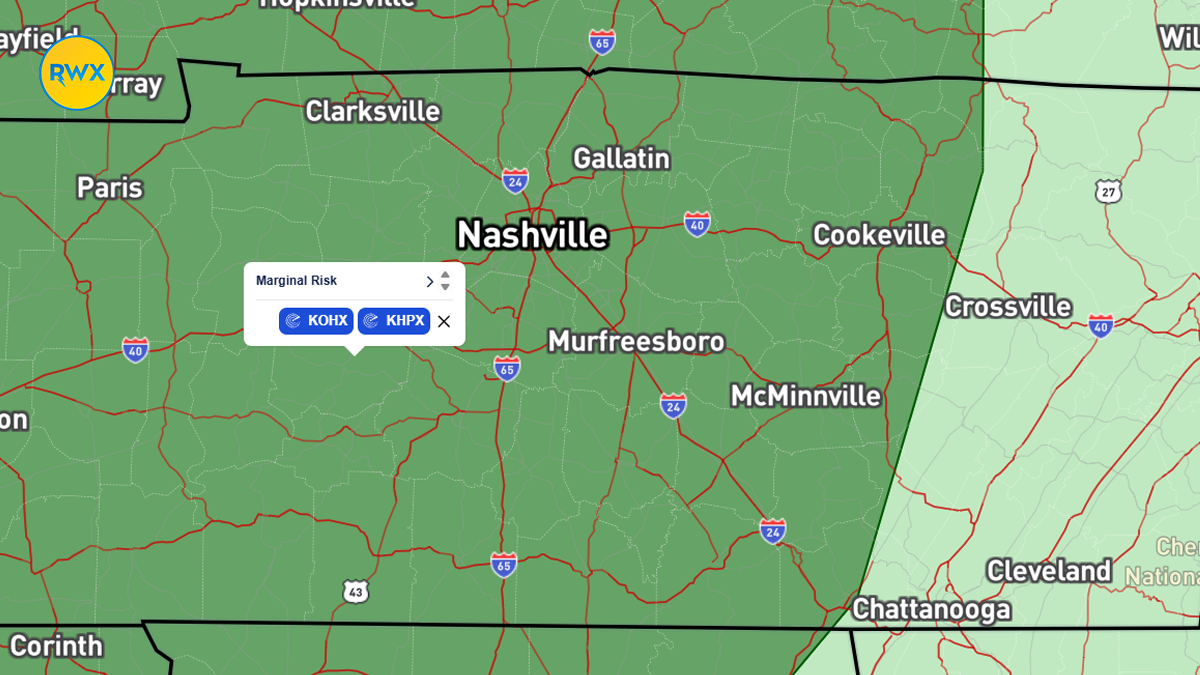
RUTHERFORD COUNTY, Tenn. (WGNS) - Our quiet spring is coming to an end as two separate storm systems target Rutherford County and Middle Tennessee. Local residents need to stay weather-aware as the first round of severe weather arrives late Friday evening. This initial system brings a marginal risk for storms that could produce damaging wind gusts, heavy rain, and hail across Rutherford County and surrounding areas.

Rain and isolated storms will stick around through Saturday morning as a cold front slowly moves through the area. While Sunday looks mostly dry and warm with highs in the 80s, the break will not last long. Forecasters are watching Monday closely as a more powerful system develops.
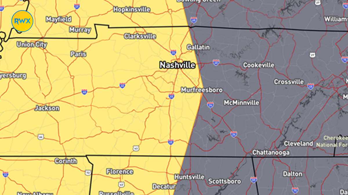
The risk for Monday is already a level two out of five. This system carries more energy and could bring all modes of severe weather to the area, including the possibility of tornadoes. Forecasters say the exact timing and intensity will depend on how much instability builds up Monday morning. Local emergency management reminds everyone to keep their cell phones charged and weather radios turned on as these systems move through the Mid-state.
Be sure to like, subscribe and turn on notifications for the Rutherford Weather channel. Find us on YouTube, Facebook and X.