
RUTHERFORD COUNTY, Tenn. (WGNS) - Weather conditions are rapidly shifting in Rutherford County as a volatile storm system moves through the region ahead of the year's first heat wave.
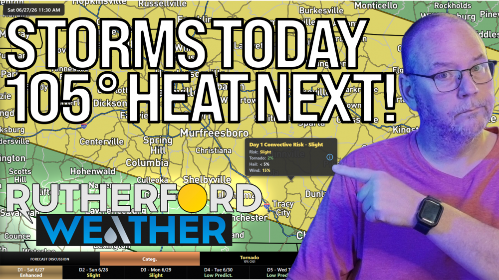
The Storm Prediction Center placed Murfreesboro, Smyrna, and surrounding areas under a level 2 our of 5 slight risk for severe weather today (Saturday). Damaging straight-line winds are the primary threat, though forecasters say a brief, isolated tornado cannot be ruled out. However, the threat is very low.
Heavy rainfall is also a major concern. A flash flood watch remains active for Rutherford County through Sunday morning. While most areas will see around an inch of rain, localized downpours could quickly dump two to three inches of water. Neighborhoods with poor drainage or low-lying roads face the highest risk for rapid flooding.
Once the storm system exits the region, the weather story takes a dangerous turn toward extreme heat. The National Weather Service issued an extreme heat watch for Rutherford County starting Monday morning and running through Thursday evening.
Data shows heat index values will climb to 101 degrees on Monday afternoon and climb from there this week. Local health officials advise residents to limit outdoor activities next week, stay hydrated, and check on neighbors who may be vulnerable to heat-related illnesses.